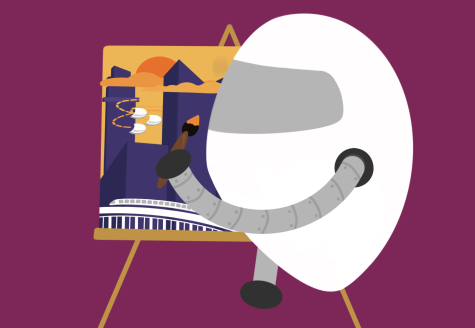

Tech Talk: On the move: Public transit
Graphic by Shraddha Sriram | The Phoenix
From the light rail to the train, the Bay Area offers a wide variety of options for transport. However, to the average rider, these options may seem overwhelming and too tedious to navigate. Still, with planning, a person can save money and time by using public transport options.
One of the three goliaths of the Bay Area’s transportation systems is the Santa Clara Valley Transportation Authority, the most versatile of the public transportation systems with their buses covering much of the entire bay. As the main operator of most of the Bay Area’s buses and light rails, understanding how to use the VTA is a necessity. In order to use this extensive transport system, there are a couple of steps to take. At any of the 59 light rail stations or online using the VTA website, register for a VTA Clipper card and load money onto the card. With this card, the extensive routes of the VTA buses will be the lifeblood of navigating and connecting to other long-distance forms of transportation when moving across city lines. However, the light rail provided by the VTA will usually go unused very often as their lines do not cover much land and are generally slower than getting on a bus.
Caltrain is the easiest way of getting from the Santa Clara area to San Francisco and various other cities. Getting on the Caltrain is simple: all you have to do is buy a ticket on the platform before boarding, get your ticket stamped by the conductor and enjoy the ride. However, due to extreme drops in ridership, a direct result of COVID-19, Caltrain has received several budget cuts in the last year and will have to close down several stations in their route in the upcoming years. However, while Caltrain connects most of the peninsula near San Francisco, exploring the South Bay requires another rail-based transportation system.
The Bay Area Rapid Transit System serves as a connection from San Jose to San Francisco and the cities in the East Bay. Getting on is as easy as getting a ticket from one of their many platforms stretching across the bay. For someone in Sunnyvale to use the BART, they would have to use the VTA buses or Caltrain to get to a nearby station. BART stations that have more than two lines will have multiple stories. In this case, referring to the BART maps and the overlapping lines at corresponding stations can clear up any confusion. Combining the passenger subway system with commuter rails, it is by far the most useful of any of the rail systems in the Bay Area.
Traveling around the Bay using public transport often requires a dynamic plan that more popular but less specialized services like Google Maps cannot provide adequately. One of the most popular mobile apps for public transit is Moovit, an app specifically designed for public transit, particularly in the Bay Area.
Not only is using public transportation budget-friendly and convenient, it is also a less damaging method of transportation for the environment when compared to using a car or even carpooling. With the VTA phasing out old diesel buses for electric solar-powered ones, and with half of BART’s energy usage being powered by renewable energy, public transportation is constantly aiming to be a environmentally sustainable.
Using the public transit systems in the Bay Area is often a daunting and frustrating task when unprepared, but the time saved in traffic, the money saved and the environmental benefits make public riding a helpful and—hopefully with this guide—easy choice.